


The geographical map (geomap) shows the location of devices in the network.
Maps are available only for the instances which are having 'Physical connectivity', as one of available types for the selected instance.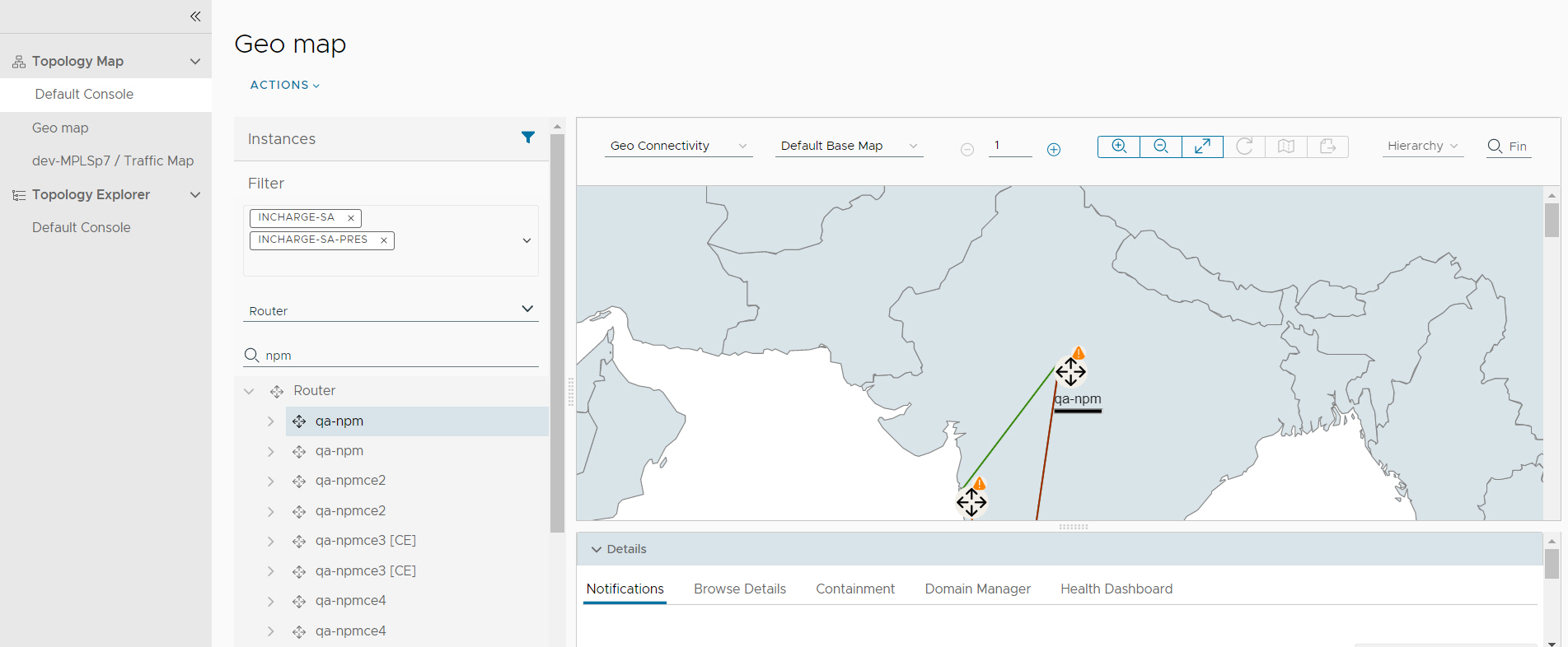
latitude and
longitude values.
Click any of the class instance highlights, the selected node shows the details in the drill down section. Each class instances are highlighted with severity.
Edges are colored based on severity level and you can check the details in the drill down section on select of edge. A thick edge in the graph indicates multi line edge and a popup with the list of lines and details are visible on click of it.
Class instances form a cluster based on zoom level and how nearly two or more instances are placed. Clusters are highlighted with maximum severity color and and number indicates how many devices are placed in cluster.
You can create custom consoles with the selection of Geo Connectivity as initial map type. For more information on Add Custom View, Clone View, Edit View, Delete View, and Share View, see the Working with Topology Map section.
